

76+
Successful Project


 Know Our Company
Welcome to IntelliNetworks, a leading provider of innovative telecom engineering and geospatial solutions. Our team of experienced professionals specializes in designing, analyzing, and optimizing telecommunications infrastructure, ensuring reliable and efficient network deployments. We also specialize in GIS development and LiDAR processing, leveraging advanced geospatial technologies to enhance network planning, asset management, and spatial analysis. We are committed to delivering high-quality solutions that adhere to industry standards and regulatory requirements while embracing cutting-edge technology.
At IntelliNetworks, we understand that good business planning is at the heart of long-term success.
With over two decades of experience in GIS, Telecom Design, and Spatial Data Intelligence, we help organizations unlock the true potential of their networks using:
Advanced ESRI Web & Desktop Development
QGIS Customization and Open Source GIS Solutions
Telecom Infrastructure Planning (FTTH, Wireless, Pole Loading, CD Drawings)
Permit Planning, BIM, LiDAR, and WebGIS Services
From concept to execution, IntelliNetworks delivers cutting-edge solutions that empower faster decisions, reduce costs, and ensure accuracy.

We offer a comprehensive suite of telecom engineering services, ensuring robust infrastructure development and seamless connectivity. Our expertise includes
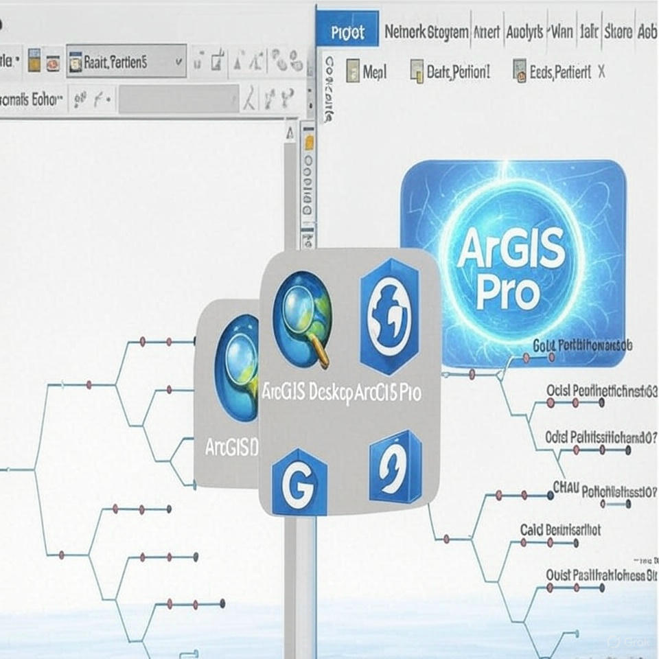
At IntelliNetworks, we specialize in building custom tools and workflows using ArcGIS Pro and ArcMap, tailored to streamline your geospatial tasks and analysis.
Our Services Include:
Custom Tool Development
Python (ArcPy) scripts and models for data processing, automation, and advanced analysis.
Geodatabase Design
Schema creation, topology rules, domains, and subtypes for structured data management.
Map Production & Editing Workflows
Smart templates, symbology, and editing tools for high-accuracy data capture and reporting.
Advanced Spatial Analysis
Buffering, overlay, proximity, suitability modeling, and raster analysis using ArcGIS extensions.
Integration with WebGIS & Databases
Seamless sync with Enterprise Geodatabases, ArcGIS Online, and Portal for ArcGIS.

Lorem, ipsum dolor sit amet consectetur adipisicing elit. Fuga debitis neque tempore quo, molestias veritatis error quidem reprehenderit eaque nam commodi! Ut voluptatibus est asperiores corrupti repellendus dignissimos ab vitae.
 our gallery


 testimonials

Lorem ipsum dolor sit amet, consectetur adipiscing elit, sed do eiusmod tempor incididunt ut labore et dolore magna aliqua Ut enim ad minim veniam.

Lorem ipsum dolor sit amet, consectetur adipiscing elit, sed do eiusmod tempor incididunt ut labore et dolore magna aliqua Ut enim ad minim veniam.

Lorem ipsum dolor sit amet, consectetur adipiscing elit, sed do eiusmod tempor incididunt ut labore et dolore magna aliqua Ut enim ad minim veniam.

Lorem ipsum dolor sit amet, consectetur adipiscing elit, sed do eiusmod tempor incididunt ut labore et dolore magna aliqua Ut enim ad minim veniam.
Lorem ipsum dolor sit amet consectetur adipisicing elit. Explicabo ratione ab deleniti ex ipsam accusamus aut autem hic. Incidunt magni obcaecati ea excepturi quisquam numquam provident aperiam ab odit. Neque?